Mapping Forest Treasures - Chanterelle Analysis
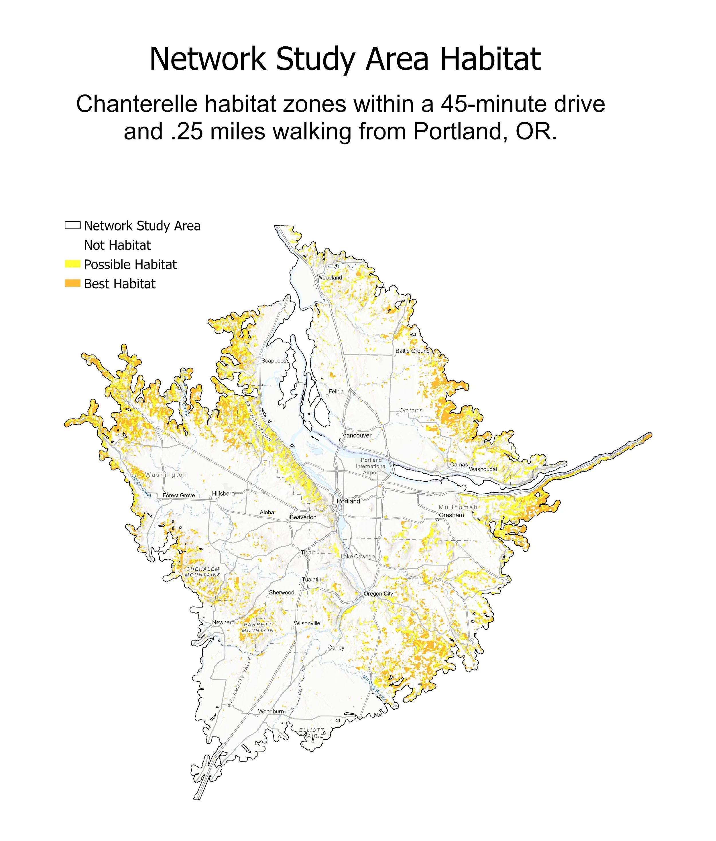
An analysis of potential chanterelle mushroom habitat near Portland, Oregon. I used 6 predictive factors derived from LIDAR and satellite imagery (elevation, slope, aspect, potential soil moisture, forest stand age, and NLCD landcover type) alongside iNaturalist data to conduct a supervised classification of potential chanterelle mushroom habitat. I also conducted a network analysis to isolate potential habitat within a 45-minute drive from Portland, OR.
Date - December 2024
Location - Northwestern Oregon
Software Used - ArcGIS Pro, Excel
Primary GIS Tools and Methods - Raster Analysis Toolbox, Raster Calculator
Data Sources - USGS, ESRI, iNaturalist